DPDPA Penalties Up to ₹250 Crore: The Real Cost of Waiting
July 2, 2026
Geospatial and infrastructure synergy matters because location is the missing layer that makes operational data truly usable.
If you are a CTO, CIO, Product Manager, Startup Founder, or Digital Leader, you are likely dealing with systems that generate massive amounts of data, but still struggle to answer basic questions like:
Infrastructure is not abstract. It is physical, distributed, and location-dependent.
That is why geospatial intelligence, when combined with infrastructure systems, becomes a powerful strategic capability. It connects operational data to real-world context.
In this article, you will learn:
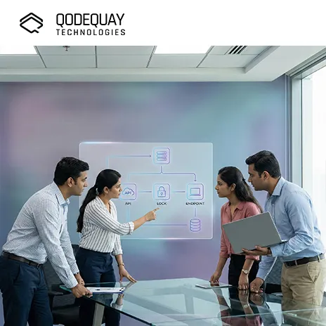
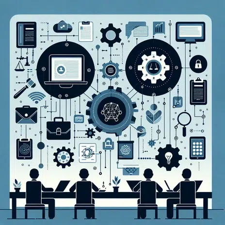
Geospatial and infrastructure synergy means integrating location intelligence with infrastructure asset data to improve planning, operations, and decision-making.
It is the combination of:
When these systems work together, you get a real-time view of infrastructure that is both visual and operational.
Location is underrated because most enterprise systems track “what” and “when,” but not “where” in a decision-ready way.
ERP systems track assets. IoT platforms track sensor readings. Maintenance tools track work orders.
But infrastructure leaders often still lack a unified answer to:
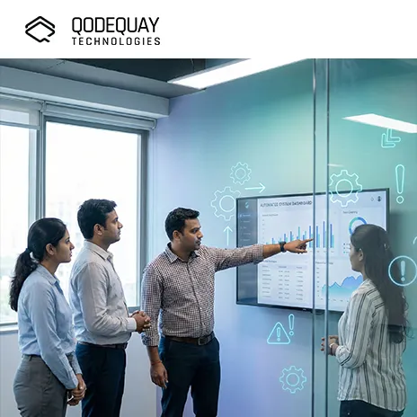
Geospatial context transforms raw infrastructure data into actionable intelligence.
You should care because geospatial integration reduces operational blind spots and improves speed, resilience, and ROI.
Geospatial synergy supports leadership priorities like:
It also enables product leaders to create high-value platforms in:
This synergy solves problems related to asset visibility, prioritization, and cross-system coordination.
Infrastructure is spread across:
Without GIS, you manage them like disconnected items.
Flood risk, erosion, traffic load, and weather impact are all location-based.
Maintenance efficiency depends on:
GIS, SCADA, ERP, and CMMS often operate separately.
Geospatial synergy connects them.
The highest ROI use cases include utility network monitoring, infrastructure inspection, city-scale digital twins, and climate resilience planning.
For water, power, and gas networks, geospatial integration helps you:
Example: a pressure drop in a water network becomes far easier to diagnose when you can see the network topology and nearby events.
Drones and LiDAR create accurate 3D models of:
This improves:
3D city twins combine:
This enables:
Geospatial analytics improves:
Geospatial layers help you assess:
This makes infrastructure investment more resilient.
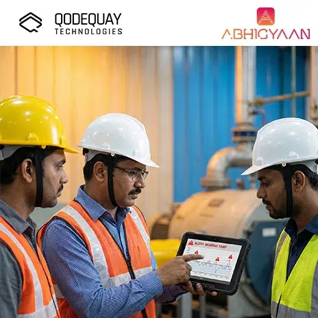
Geospatial intelligence improves response by showing impact zones, dependencies, and the fastest path to action.
Instead of a generic alert like: “Transformer fault detected”
You get:
This reduces response time and improves service continuity.
Real-world examples show that spatial context turns complex infrastructure into manageable systems.
A utility detects abnormal load patterns.
With GIS integration, the system highlights:
Outcome:
A water utility detects a pressure anomaly.
GIS reveals:
Outcome:
A telecom company plans fiber rollout.
GIS analysis identifies:
Outcome:
This synergy is enabled by GIS platforms, real-time data pipelines, 3D modeling, and spatial analytics.
2D maps show location.
3D models show:
For complex infrastructure, 3D is often the difference between “seeing” and “understanding.”
You should treat geospatial systems as operational infrastructure, not as static mapping tools.
You should avoid building a “pretty map” without operational integration and workflow impact.
Maps must update continuously for operational value.
If asset IDs and naming differ across systems, integration becomes painful.
Start with:
Then scale.
The people doing repairs need:
You measure success through faster response, better planning accuracy, and reduced operational cost.
The future is real-time, predictive, and twin-driven infrastructure management where location becomes the core operating interface.
Geospatial layers will become the foundation for operational digital twins across:
AI will predict:
Drone and satellite monitoring will become continuous, not periodic.
Facility twins and city twins will connect.
This creates end-to-end visibility from:
Geospatial analytics will drive resilience planning and insurance-grade risk models.
Geospatial and infrastructure synergy is not just about better maps. It is about building a shared operational truth for complex physical systems. When you combine GIS, IoT, asset data, and analytics, you gain the ability to plan smarter, respond faster, and invest more strategically.
For CTOs, CIOs, Product Managers, Startup Founders, and Digital Leaders, this synergy is becoming a digital backbone for modern infrastructure. It enables resilience, efficiency, and new product opportunities across industries that depend on physical networks.
At Qodequay (https://www.qodequay.com), you approach geospatial and infrastructure solutions with a design-first mindset, ensuring your platforms are not only technically powerful, but also intuitive for planners, operators, and field teams. You solve human problems first, and then use technology as the enabler, which is how geospatial intelligence becomes real infrastructure impact.
As the CEO and Founder of Qodequay Technologies, I bring over 20 years of expertise in design thinking, consulting, and digital transformation. Our mission is to merge cutting-edge technologies like AI, Metaverse, AR/VR/MR, and Blockchain with human-centered design, serving global enterprises across the USA, Europe, India, and Australia. I specialize in creating impactful digital solutions, mentoring emerging designers, and leveraging data science to empower underserved communities in rural India. With a credential in Human-Centered Design and extensive experience in guiding product innovation, I’m dedicated to revolutionizing the digital landscape with visionary solutions.
Follow the expert :
![]()

July 2, 2026
July 2, 2026
July 2, 2026
July 2, 2026
July 2, 2026
Monthly insights on AI, VR and DPDPA compliance — straight from our team to your inbox.
Free 30-minute consultation with our team — or see our products in action.